The Best Shore Photo Spots around Manitoulin Island in Canada
Explore Shore pictures of Manitoulin Island with the travel spots on a map
Download the Travel Map of Canada on Google Maps here
6 Shore Spots of Manitoulin Island on a Map
Pictures of Shore on the interacive map of Manitoulin Island
Download On Google Maps 🗺️📲Shore Spots and Pictures around Manitoulin Island
Discover popular destinations in Manitoulin Island with their travel guides
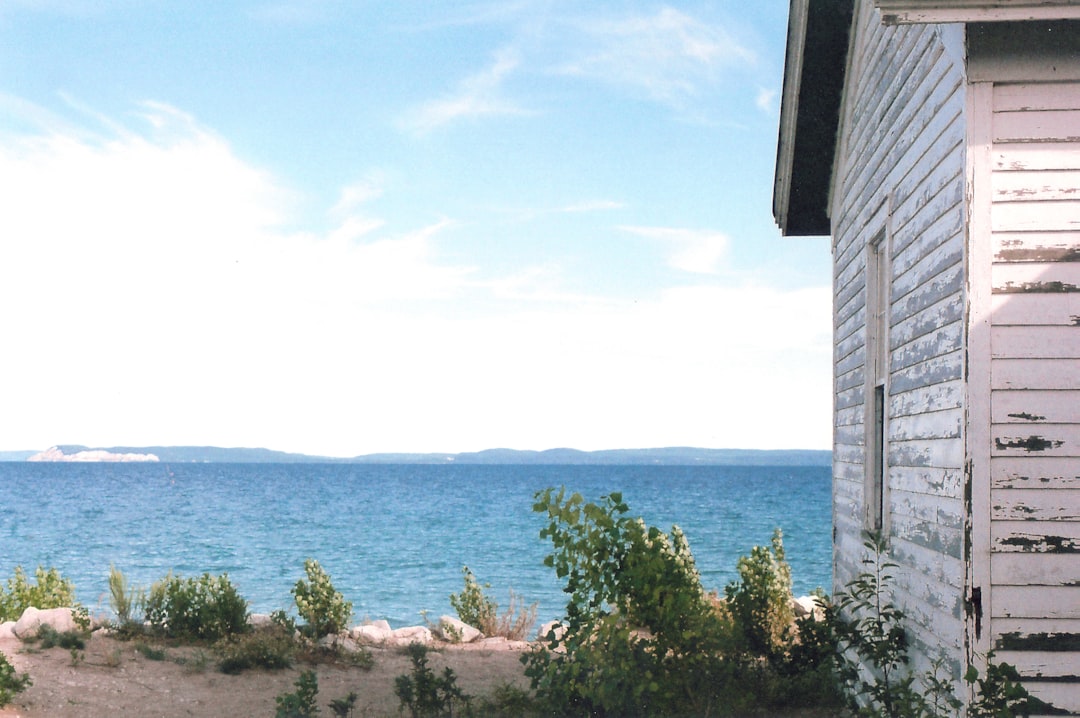
Manitoulin Island
Read the Travel guide View on Google Maps
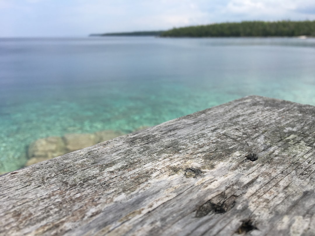
North Channel
44 km away from Manitoulin Island
Read the Travel guide View on Google Maps


Burnt Point Loop
58 km away from Manitoulin Island
Read the Travel guide View on Google Maps
Tobermory
58 km away from Manitoulin Island
Read the Travel guide View on Google Maps


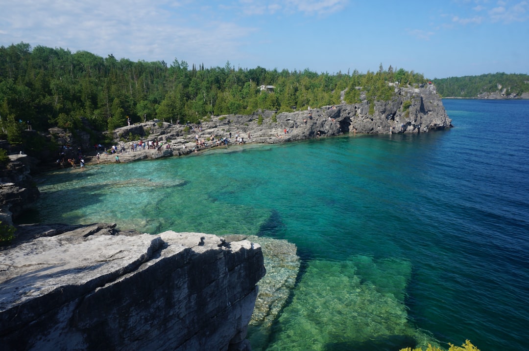
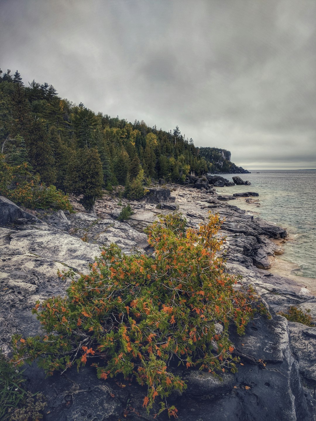
The Grotto
65 km away from Manitoulin Island
Read the Travel guide View on Google Maps
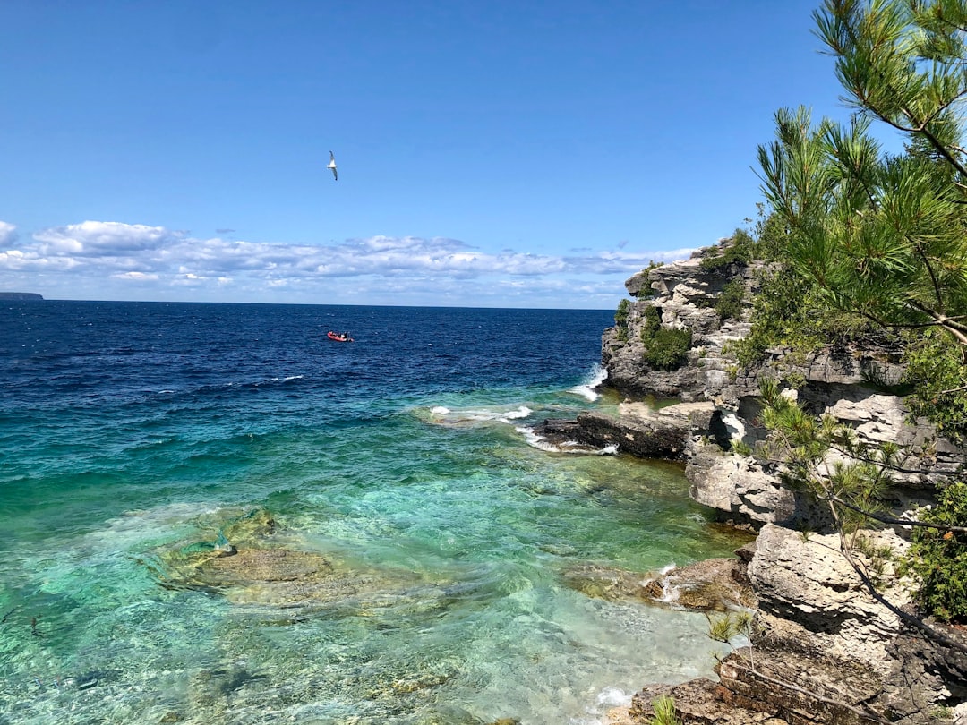
Bruce Trail
65 km away from Manitoulin Island
Read the Travel guide View on Google Maps
Book your Travel Experience in Manitoulin Island
Discover the best tours and activities in Manitoulin Island and book your travel experience today with our booking partners
Learn More about Manitoulin Island
Find Hotels in Manitoulin Island
Discover the best hotels around Manitoulin Island, Canada and book your stay today with our booking partner booking.com